
LAND & ENVIROMENTAL
SURVEY SUPPORT
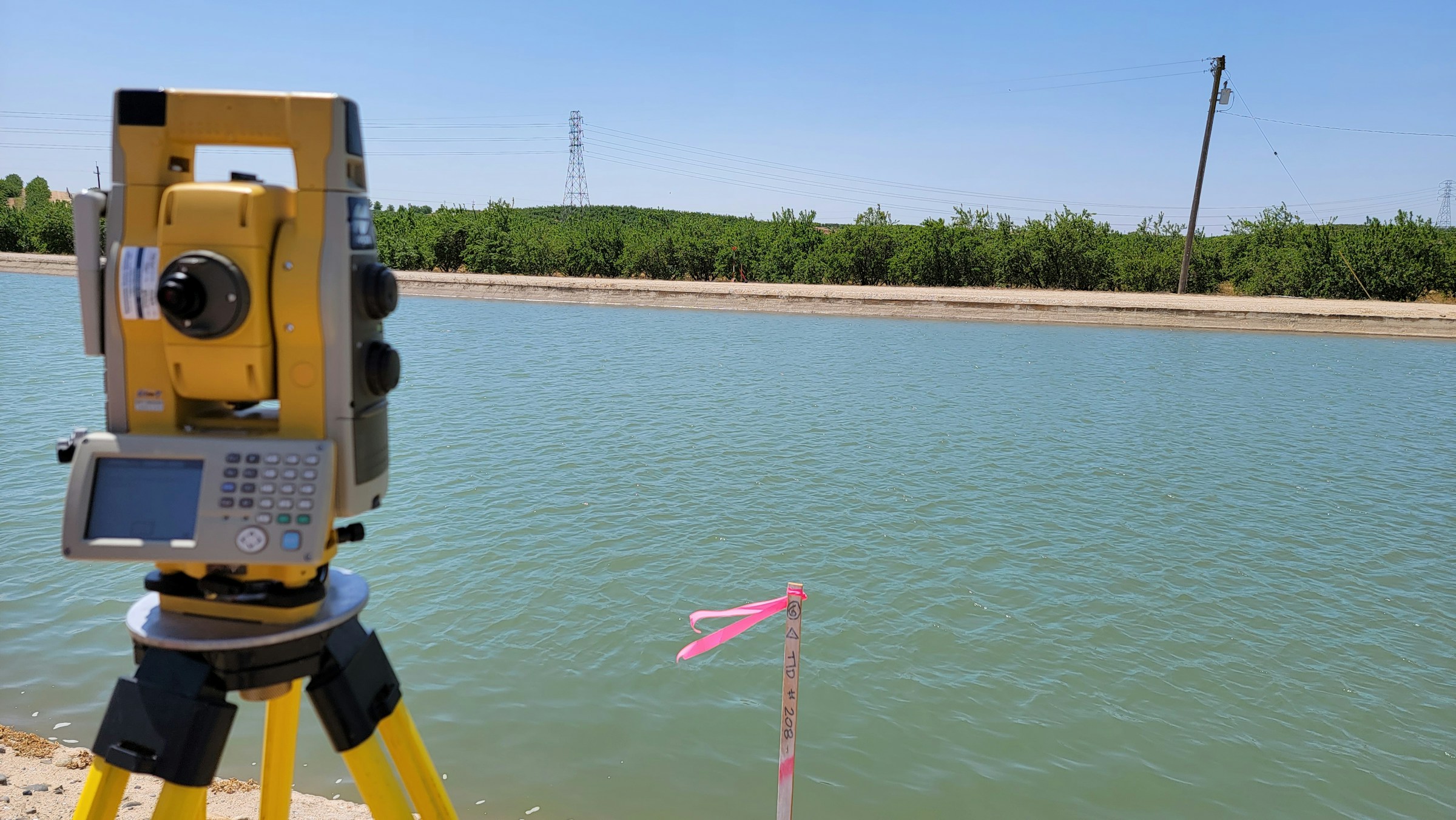
Land and enviromental surveys provide accurate positioning control and baseline data to support engineering marine infrastructure, and environmental permitting processes. Oseana delivers integrated terrestrial and marine survey data, including physical oceanographic measurements, seabed characterization, and environmental monitoring to support impact asessments and AMDAL requirements.
main equipment
underwater
SURVEY Service
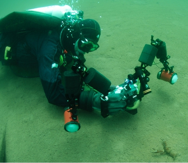
Underwater survey services provide visual and condition assessments of submerged structures, pipelines, cables, and seabed features to support asset integrity and operational safety. Oseana utilizes diver-based and remotely operated systems to conduct inspections in accordance with project and safety requiretments.
main equipment
aerial
SURVEY Service
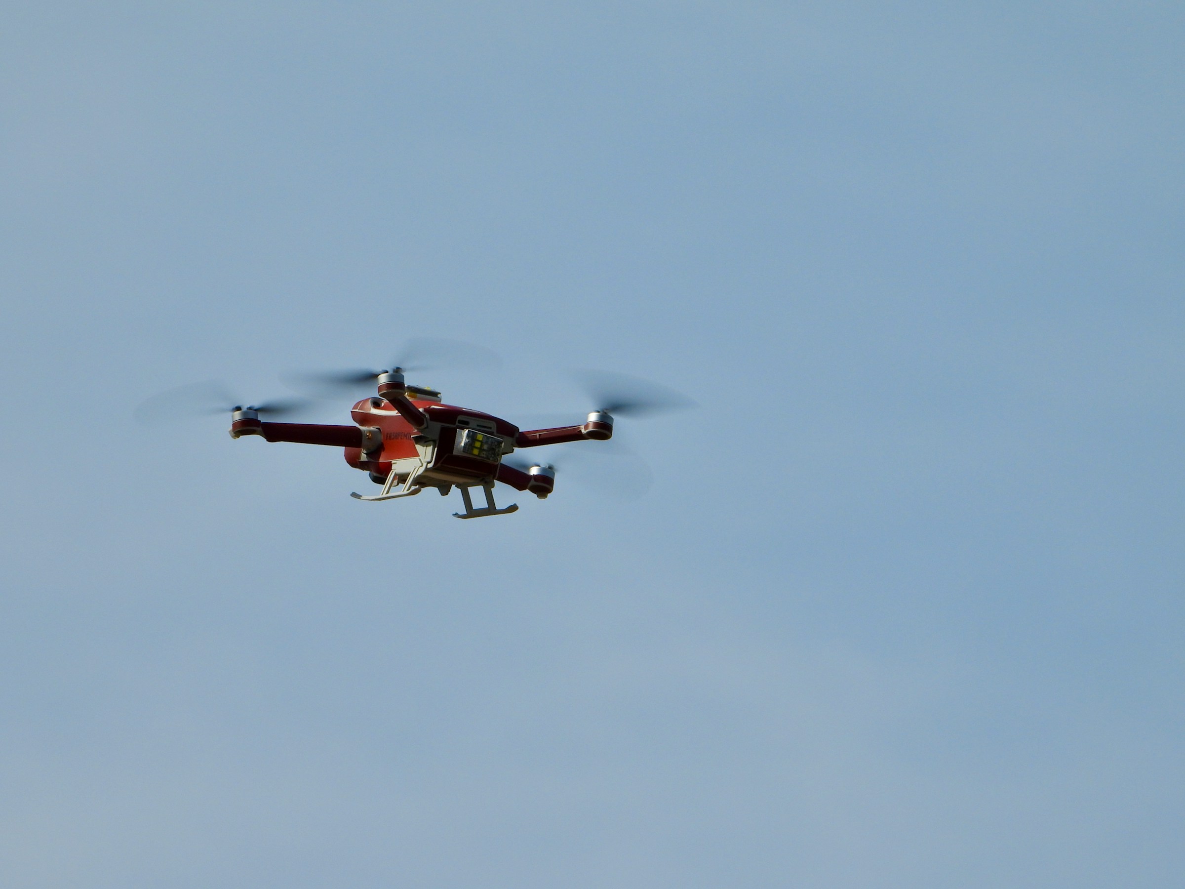
Aerial survey services deliver rapid, high-resolution spatial data acquisition for mapping, monitoring, and inspection across marine, coastal, and terrestrial environments. Oseana deploys UAV/drone-based platforms operated by certified pilots to support efficient data collection with high positional accuracy, enhanced safety, and reduced operational costs.
main equipment
SPECIALIZATION
HYDROGRAPHIC
SURVEY
Hydrographic surveys provide accurate seabed and water depth
measurements referenced to Mean Sea Level (MSL) to support navigation
safety, part development, dredging activities, and offshore
construction. Oseana conducts hydrographic surveys in offshore,
nearshore, river, and lake environments using calibrated systems to
support bathymetric mapping, volume calculation, and pre post
construction assessments.
main equipment
MARINE GEOTECHNICAL
SURVEY
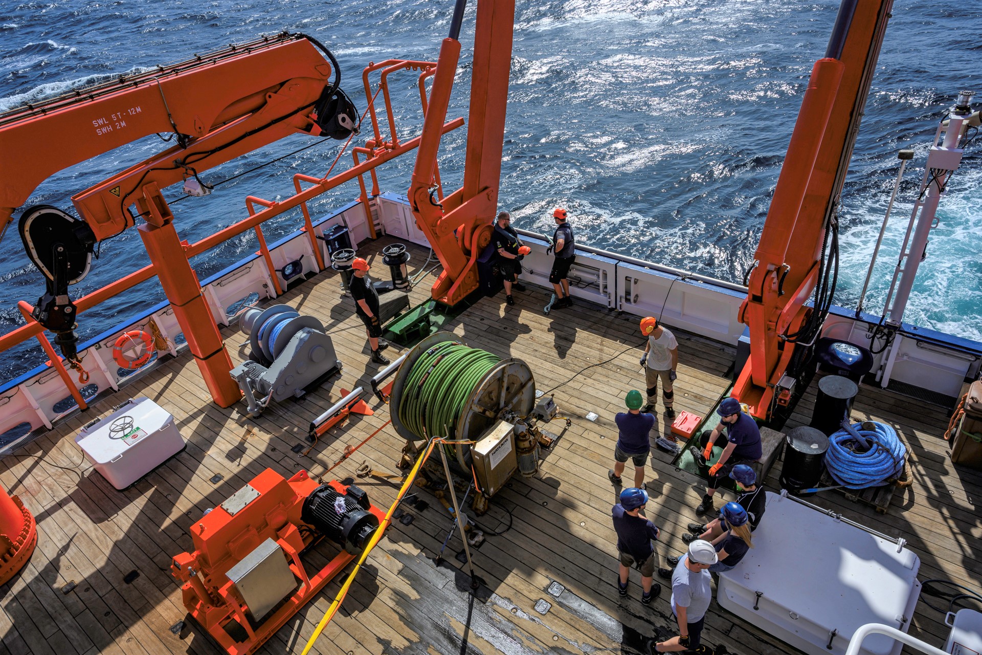
Marine geotechnical surveys provide near-surface seabed and soil data to
support foundation design and offshore engineering works. Oseana
conducts geotechnical investigations to assess soil characteristics,
bearing capacity, and construction feasibility for offshore structures,
jetties, and subsea installations.
main equipment
MARINE GEOPHYSICAL
SURVEY
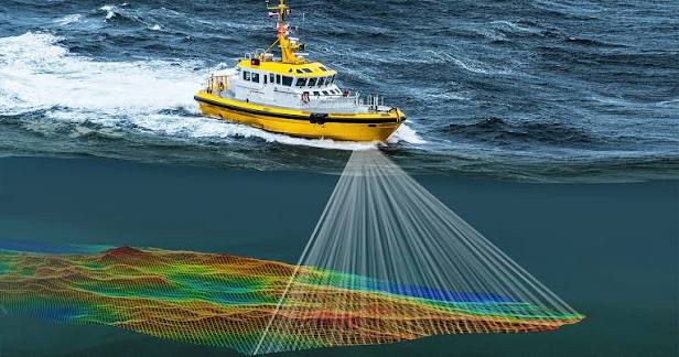
Marine geophysical surveys investigate seabed and shallow to
intermediate subsurface layers to support offshore development, cable
and pipeline routing, and hazard identification. Oseana applies
appropriate geophysical methods to identify seabed objects, sediment
layers, and potential geohazards, producing accurate data to support
engineering design and safe marine operations.
main equipment
topographic & coastal
SURVEY
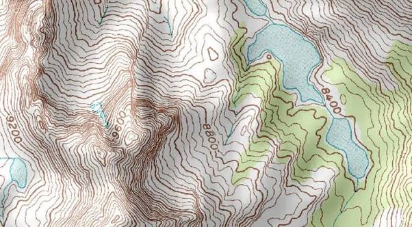
Topographic and coastal surveys integrate land and nearshore
measurements to map shoreline morphology and coastal elevation in
support of coastal engineering, reclamation, adn shoreline management.
Oseana provides accurate spatial data for planning and monitoring
coastal developments, ensuring continuity between onshore and offshore
design.
main equipment
MET-OCEAN
SURVEY
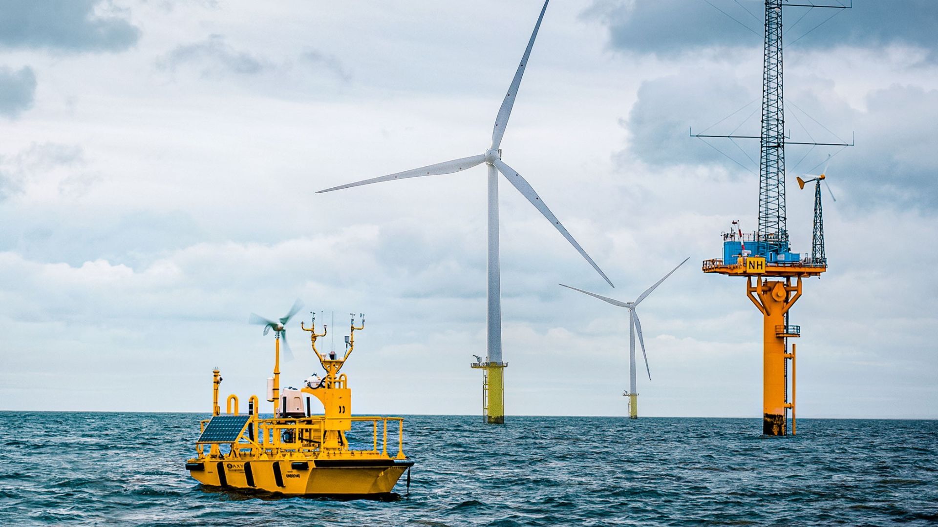
Met-ocean surveys collect oceanographic and meteorological data to
support offshore structure design, operational planning, risk
assessment, and environmental analysis. Oseana measures currents, waves,
tides, and water column characteristics to provide representative data
for engineering design and offshore operations.
main equipment
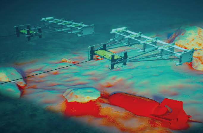
UXO
SURVEY
UXO surveys identify and map potential unexploded ordnance remnants from
historical military activites to ensure safety prior to offshore
construction, dredging, or seabed intervention works. This service is
critical in minimizing safety risks during marine operations.